CASE STUDY: Wildfire Risk Assessment with Fire Score
Project Overview
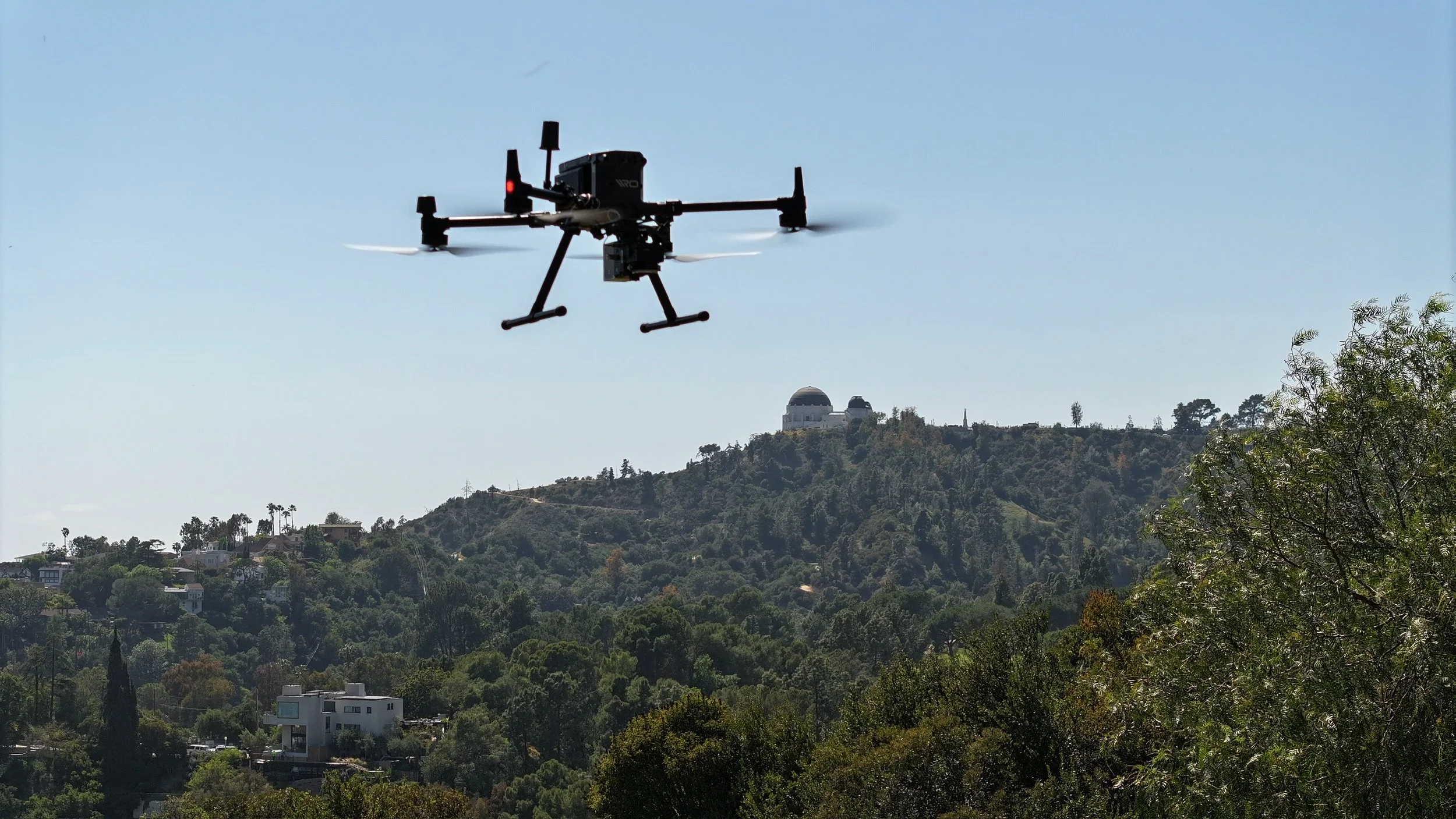
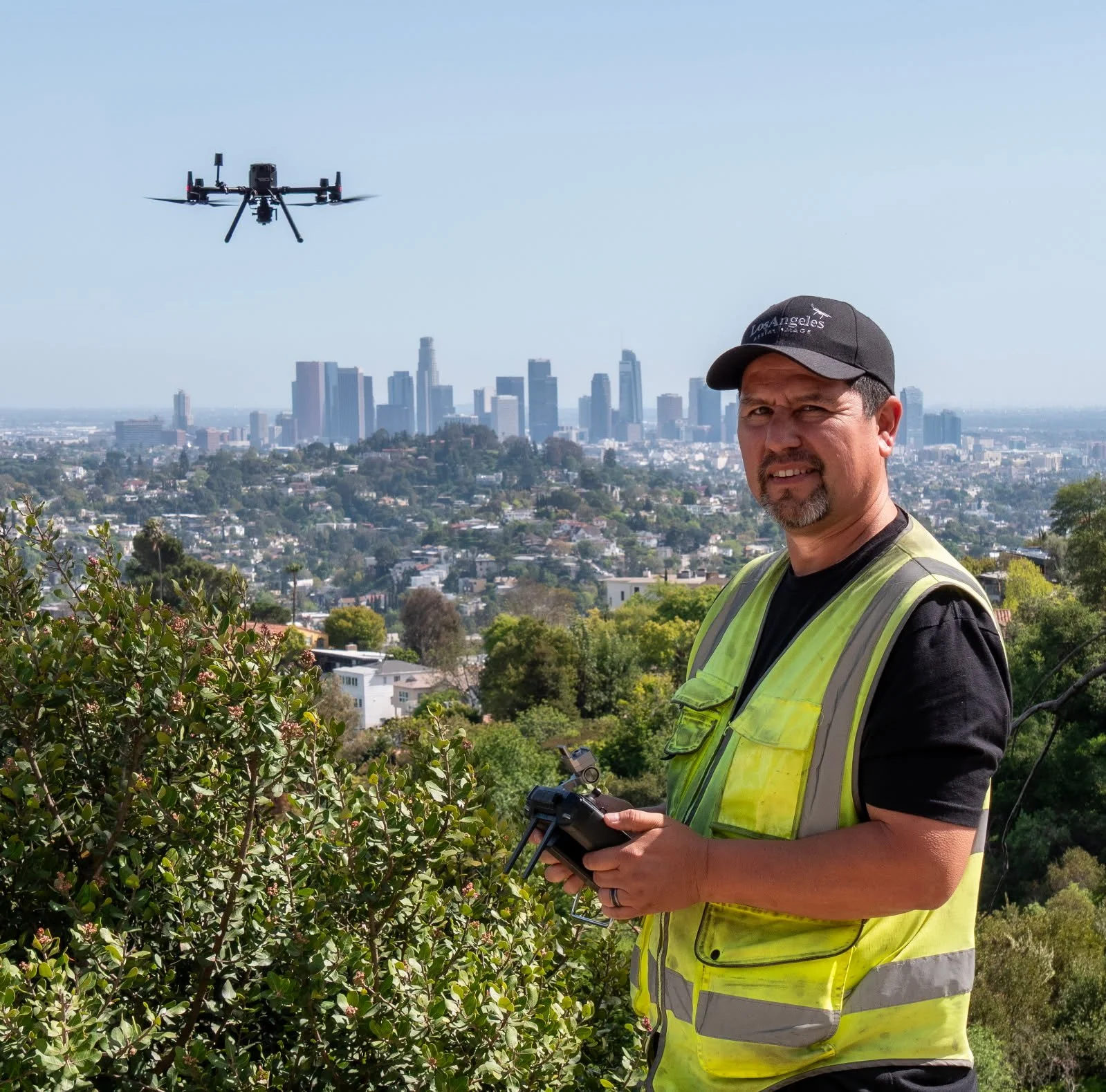
Los Angeles Aerial Image partnered with Fire Score, a nationwide leader in wildfire risk assessment, to capture advanced aerial data in Griffith Park, La Habra, and San Bernardino County. This imagery serves as the sole input for Fire Score’s new AI-driven wildfire risk assessment platform, which delivers faster, more accurate insights for local fire departments.
By integrating LiDAR, multispectral, hyperspectral, and RGB imaging, our work provided the foundation for AI-generated reporting that helps public safety officials prioritize fire prevention efforts across high-risk areas.
Locations & Scope
Coverage areas: 30 acres – 1,200 acres per mission
Project type: Research & development phase for Fire Score’s AI software
Tasked with documenting: Vegetation, brush encroachment, structures, wildland-urban interface zones, and terrain features
Our team is prepared to scale these missions to much larger regional projects as the initiative expands.
Services Provided
Los Angeles Aerial Image delivered advanced aerial data collection and processing including:
LiDAR sensor data
Multispectral and hyperspectral captures
High-resolution RGB imagery
Processed & stitched datasets prepared for direct AI integration
This was not “just photos or video”—it was specialized imagery designed for AI wildfire analysis.
Timeline & Frequency
Initial aerial captures completed for AI development and testing
Planned annual re-flights to capture vegetation growth, moisture levels, and environmental changes over time
Results & Impact
The aerial data captured by Los Angeles Aerial Image is already delivering tangible benefits:
Prioritizing fuel reduction and vegetation management
Supporting pre-incident planning
Improving firefighter access and evacuation route planning
Identifying species of trees, brush, and shrubs with higher flammability
Measuring moisture levels to detect dry, high-risk environments
Fire officials from Los Angeles and San Bernardino Counties praised the system’s efficiency, noting that it made proactive problem abatement easier on fire personnel and more effective overall.
Technical Approach
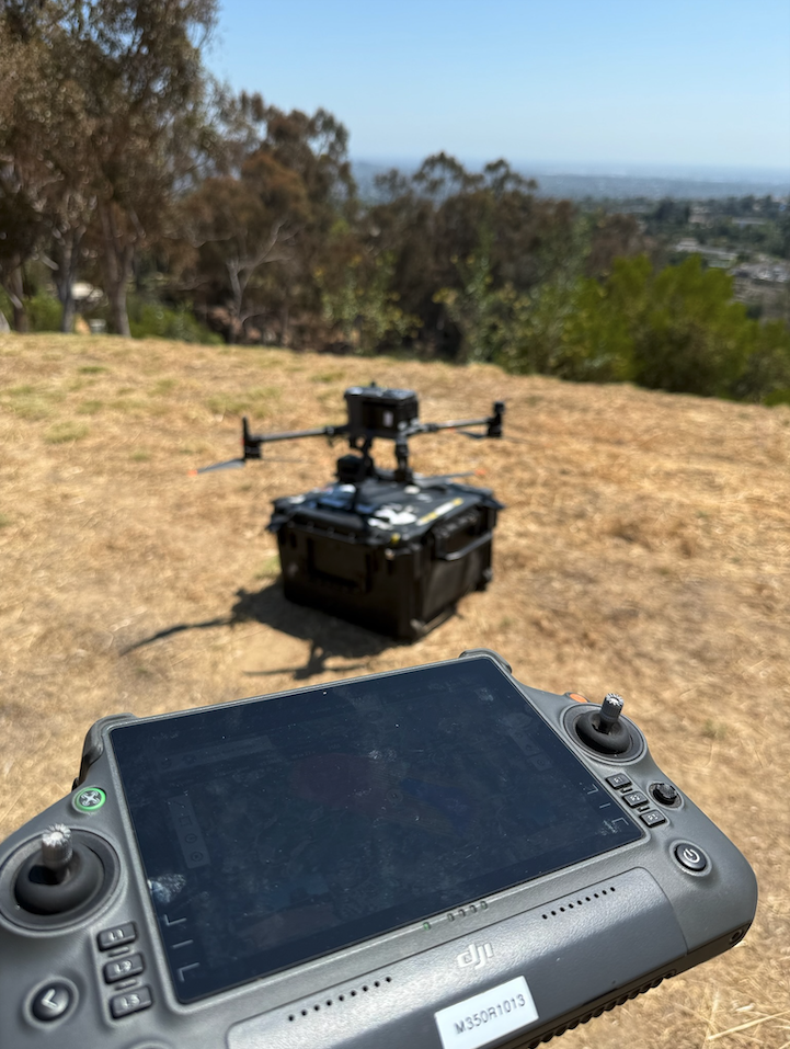
Drone platform: DJI Matrice 350
Payloads: RGB, LiDAR, hyperspectral, and multispectral sensors
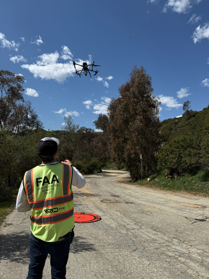
Flight method: Hybrid — autonomous missions for wide coverage, manual flights for low-level detail in challenging terrain
Challenges overcome:
Lighting: Hyperspectral & multispectral sensors require solar noon conditions
Terrain: Vast and unpredictable landscapes required expert manual piloting
Complexity: High-level mission planning and equipment setup beyond the scope of most Part 107 operators
Stakeholders
This project engaged high-level city and county leadership, including:
Fire chiefs
City planners
County officials
Policy makers
What Sets Us Apart
Los Angeles Aerial Image brings unique expertise to advanced aerial data projects:
FAA Part 107 Certified + Private Pilot license
30+ years of photography and aerial imaging experience
Advanced technical knowledge of LiDAR, hyperspectral, and multispectral systems
Proven ability to deliver reliable results in complex, high-stakes environments
This combination of aviation expertise, sensor knowledge, and operational skill makes us uniquely qualified for projects that push drone technology into new frontiers.
Future Outlook
The ultimate goal is to bring AI-driven fire prevention planning to municipalities worldwide. With accurate aerial data at its foundation, fire prevention can become proactive rather than reactive.
In recent years, devastating wildfires have struck communities in Pacific Palisades, Malibu, Lakeview Terrace, Eaton, and even across the ocean in Maui. These fires highlight the urgent need for smarter, data-driven planning that can identify risks early, guide fuel reduction efforts, and protect lives and property before flames ever start.
Los Angeles Aerial Image is committed to helping cities, counties, and agencies adopt this cutting-edge approach — making wildfire planning faster, more efficient, and more effective for the communities most at risk.
For More Information
If your city, county, or agency is planning large-scale fire prevention initiatives and would like to learn more about how this technology works — or how Los Angeles Aerial Image can support your project with specialized aerial data collection — contact us today.